The Weatherman: How NOAA Satellites Beam Forecasts To Earth

Use your laptop and SDR to collect live weather imagery from space
When you talk about radio, most people think of it as a way to communicate via voice. Amateur Radio operators use FM to talk on local repeaters, and your car radio uses the same modulation type to deliver entertainment while you’re on the road. But, you won’t have to look at the spectrum for long to realise that there is a whole bunch of activity that has nothing to do with voice communications.
One of the most interesting parts of the spectrum to monitor is the Space Communications allocation. Here, we’ll find telemetry and beacon data as well as a variety of other signals. With many of them being digital modes, we’ll need to use plugins to help our SDR properly decode the transmissions.
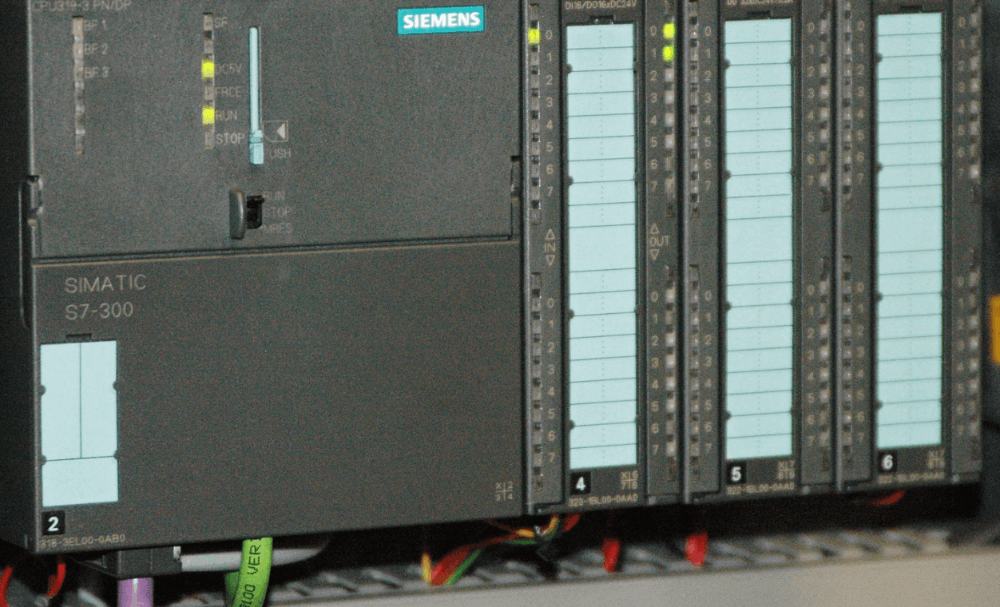
One project that can be fun for beginners is downloading weather imagery. A good first step into the world of satellites, these signals are relatively strong and, due to their orbit pattern, provide good coverage globally. Let’s take a look at what the options are for DIY space weather. The NOAA fleet helps predict global weather by sending imagery back to Earth. This is NOAA-19. Source: Wikipedia
NOAA Satellites
The NOAA fleet has been a workhorse of data collection, collecting and sending data back to Earth with each orbit. Using the Automatic Picture Transmission mode (APT), satellites beam their data back to Earth in the Very High Frequency (VHF) band.
Some simple software allows the RTL-SDR to detect these transmissions, then apply some decoding magic to turn them into usable images.
The NOAA fleet has a strong and consistent signal, and its choice of a VHF downlink makes it a great candidate for beginners, as it’s more tolerant of error correction and antenna choice.
This fleet is, however, composed of aging platforms. The venerable NOAA-15, for instance, was originally launched in 1988, and it’s fair to say that, depending on your location, there are more modern options available to choose from. APT imagery of North America. Source: Wikipedia
Still, the remaining NOAA birds can be fun to explore if you haven’t looked at satellite data before, and it’s worth taking a look at the APT transmission mode before it's phased out entirely.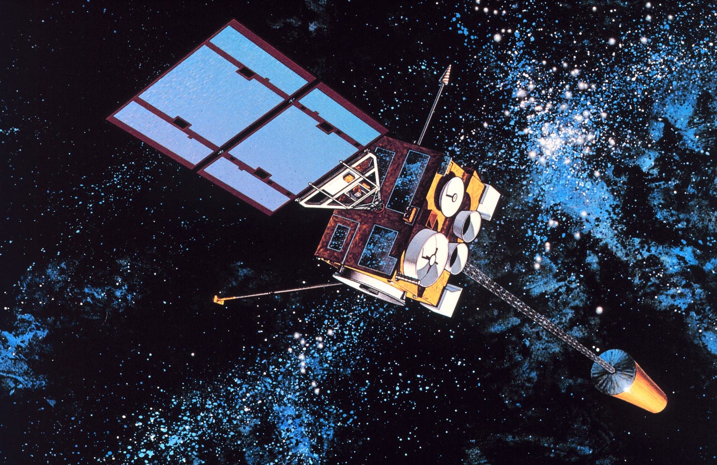 This is the second generation, GOES-8. Source: Wikipedia.
GOES
Known as the Geostationary Operational Environmental Satellites (GOES) this program is also operated by NOAA, however, it comes with a few distinct twists.
Using a fleet of Geostationary satellites flying high above the Equator, GOES satellites provide near real-time, high-resolution imagery and data for weather forecasting, severe storm tracking, and space weather monitoring across the Western Hemisphere. GOES provides stunning imagery due to its extreme orbit. This is one of the first images from GOES-1. Source: Wikipedia.
A multi-generation program, the GOES fleet started with the launch of GOES-1 way back in 1975, and over the years, the fleet has grown with the addition of new satellites.
The most modern satellites of the fourth generation were launched in 2016, meaning that they provide clear, modern imagery. Due to their extreme orbital distances though, you’ll need to work a little harder to successfully capture and decode the downlink. The Meteor M-2 fleet originated in the old USSR as part of the Soviet weather program. This is the first M2. Source: Wikipedia.
Meteor M2
Originally developed by the Soviet Union in the early 1960s, the Meteor spacecraft are weather observation satellites launched by the Soviet Union and Russia since the Cold War.
Like the American program, the Meteor is a multi-generation fleet that’s been refined with each future iteration, and while the program relies on a single class of satellite, each bird is packed full of useful technology.
While the modern fleet was originally planned to consist of four satellites, budgetary restraints meant that the MEteor-M project was significantly curtailed in comparison to its earlier goals.
The Meteor program would be plagued with issues in comparison to its equivalent NOAA projects. In 2017, Meteor-M 2.1 would be lost at launch, while in 2019, satellite 2.2 would cease transmitting imagery outright.
Despite these issues, 3 more Meteor-M satellites are currently being prepared for orbit.
Software & Trackers
If you’re interested in trying to collect some imagery, you’ll need to use some software to help you along the way, along with a tracker to help you calculate where the satellite is and when it will be there.
The web-based HeavensAbove is useful if you don’t have a platform or don’t want to install dedicated trackers on your device. If you’re able though, the open-source Gpredict is a simple tracker available for all platforms that can be set up quickly and easily.
Linux users can find it in the APT repository, meaning you can install it using the following command
apt install gpredict
While the original WxtoImg was popular with space weather enthusiasts, it now suffers from a lack of developer support. So while you’ll find plenty of tutorials that recommend it, we’d suggest straying from the crowd on this one.
The open-source Satdump program has a broad range of SDR support and is pre-configured to collect data from multiple platforms. While you’ll have to install it from source, downloading the imagery is quick and easy once it’s configured.
We’ll be covering Satdump in a future tutorial, but for now, you can find out all you need to know by taking a look at the Satdump repository on GitHub.
No Radio, No Problem
For some people, an interest in space weather may still not provide enough motivation to figure out antennas, receivers and decoders. There’s no denying that collecting the weather using this approach has a decidedly heavy tech focus that some users might find difficult to navigate.
While we’d encourage you to mess about with your SDR a give it a shot, in some instances you may need data quickly and easily, and as you’d imagine, in the information age, finding this stuff can be pretty easy.
The first place to look is the US Government’s NESDIS website. Hosting both NOAA & GOES imagery, you can download up-to-date imagery that’s relevant to your area.
If you’d like to try with radio but don’t have your own station, you can try using the WebSDR project’s remote receivers to capture your own data without needing a station.
Or you can bypass all the noise by downloading and analysing imagery from social media, thanks to the NOAASatellites X account. With more than 1.5 million followers, they regularly post imagery that’s been collected from space.
There’s never been a better time to try to be your own weatherman.
If you found this article insightful, informative, or entertaining, we kindly encourage you to show your support. Clapping for this article not only lets the author know that their work is appreciated but also helps boost its visibility to others who might benefit from it.
🟦 We’re now on Bluesky!
🔗 Articles we think you’ll like:
- What The Tech?! Space Shuttles
- Shodan: A Map of the Internet
✉️ Want more content like this? Sign up for email updates